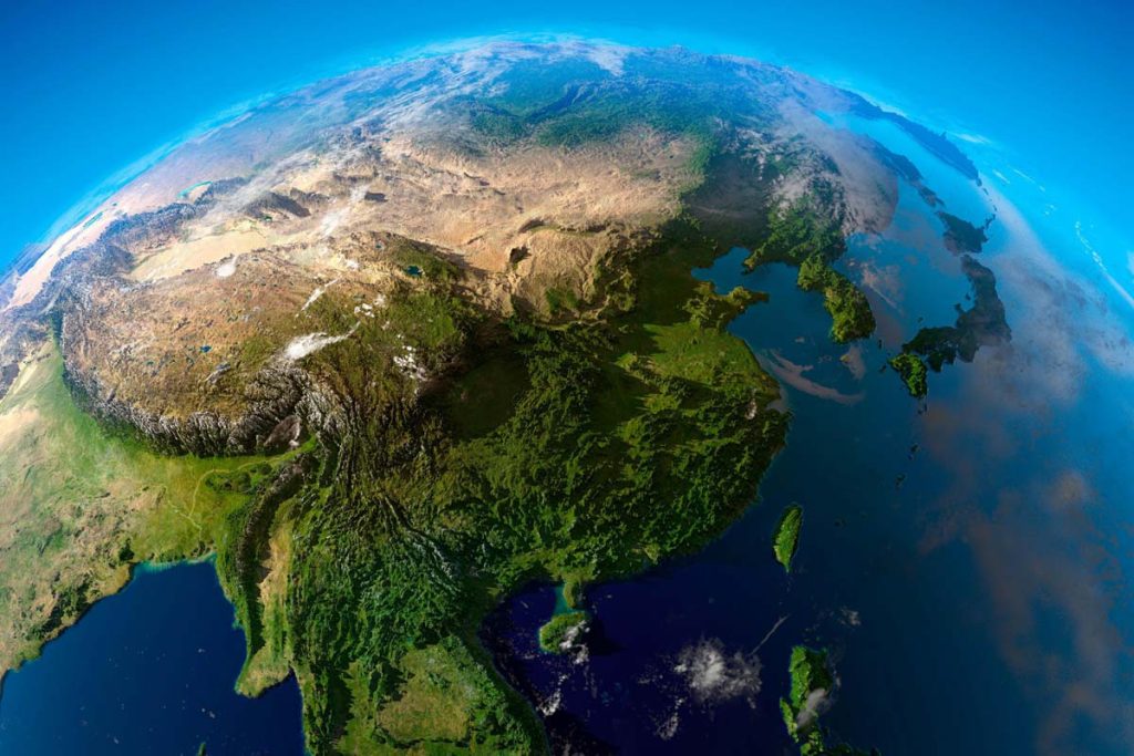
China is a vast country with an area of more than 9.6 million square kilometers, ranking third in the world. The first and second places are Russia and Canada, respectively. The territories of the United States, Brazil, and Australia are close behind China. These countries, with an area of more than 5 million square kilometers, are “mega-countries”.
As we take a closer look at the map of the world, it is not difficult for us to find the location of China. China is located in the east of Asia and on the west coast of the Pacific Ocean. On the map, China stands like a rooster in the east of the world.
Topography of China
If you have the opportunity to travel by train from Shanghai on the east coast of China to Lhasa in the interior of western China, you will not only feel the horizontal movement to the west but also the vertical and upward movement in addition. The average altitude in Shanghai is less than 5 meters above sea level, while the average altitude in Lhasa is 3,650 meters above sea level.
China’s land surface is undulating. The terrain is high in the west and low in the east, inclined to the ocean. It is generally distributed in a ladder shape and divided into three steps. The first step is the Qinghai-Tibet Plateau, with an average altitude of more than 4,000 meters. The Kunlun Mountains, Qilian Mountains, and Hengduan Mountains on the northern and eastern edge of the first step are the boundaries of the first step and the second step. The average altitude of the second step is between 1,000 and 2,000 meters, on which large basins and plateaus are distributed. The Greater Khingan Range, Tai-hang Mountains, Wushan Mountains, and Xuefeng Mountains in the east of the second step separate the third step from the second step. The third step is a vast plain with hills and low mountains, most of which are less than 500 meters above sea level. Therefore, if you take the train from Shanghai to Lhasa, you will go from east to west, from the third step to the second step, and then to the first step. Along the way, you can feel the characteristics of all kinds of terrain and appreciate the different scenery, but you should be careful of the high altitude reaction.
Administrative divisions
In order to facilitate the governance of the nation and hierarchical management, generally the state divides administrative areas which are referred to as “administrative divisions”. So how does China divide administrative areas?
First of all, a unit smaller than a nation is referred to as a “provincial administrative region”, similar to the “state” of the United States. At present, there are 34 provincial administrative regions in China, including 23 provinces, 5 autonomous regions, 4 municipalities directly under the Central Government, and 2 special administrative regions.
Among them, five autonomous regions have developed on the basis of ethnic minority inhabited areas. They are Inner Mongolia Autonomous Region (hereinafter referred to as “Inner Mongolia”), Xinjiang Uygur Autonomous Region (hereinafter referred to as “Xinjiang”), Tibet Autonomous Region (hereinafter referred to as “Tibet”), Guangxi Zhuang Autonomous Region (hereinafter referred to as “Guangxi”) and Ningxia Hui Autonomous Region (hereinafter referred to as “Ningxia”). Inner Mongolia is the inhabitant of Mongolian, Xinjiang is the inhabitant of Uygur, Tibet is the inhabitant of Tibetan, Guangxi is the inhabitant of Zhuang, and Ningxia is the inhabitant of Hui. In ethnic minority autonomous regions, you can not only enjoy the beautiful and pleasant natural scenery, but also get to experience the unique ethnic customs.
There are four municipalities directly under the Central Government in China. They are Beijing, Tianjin, Shanghai, and Chongqing. The municipality directly under the Central Government, as its name implies, is a city directly under the jurisdiction of the Central Government. Although they are called “municipalities”, they are actually administrative units of the same level as “provinces”. To become a municipality directly under the Central Government, it often needs a larger population (not less than 6 million people) and has an important position in the political, economic and cultural aspects of the country.
The Hong Kong Special Administrative Region and the Macao Special Administrative Region are two special administrative regions of China. Historically, Hong Kong was colonized by the British and Macao by the Portuguese. After continuous efforts and negotiations by the Chinese Government, Hong Kong returned to China on July 1, 1997 and Macao returned to China on December 20, 1999. China has established the Hong Kong Special Administrative Region and the Macao Special Administrative Region, respectively, to restore sovereignty over Hong Kong and Macao.
China’s territory is vast, and correspondingly, most provincial administrative regions are relatively large. Among them, the largest is Xinjiang, with an area of about 1.66 million square kilometers.
Provincial administrative regions can continue to be divided into the following parts. Generally speaking, smaller units of provinces and autonomous regions are cities or autonomous prefectures, such as Jinan City in Shandong Province, Lhasa City in Tibet Autonomous Region, Xiangxi Tujia and Miao Autonomous Prefecture in Hunan Province, and Yili Kazakh Autonomous Prefecture in Xinjiang Uygur Autonomous Region. The subordinate units of municipalities directly under the Central Government are districts and counties, such as the Nankai District of Tianjin and Fengdu County of Chongqing. There are 18 districts under the jurisdiction of the Hong Kong Special Administrative Region. Macao takes “parish” as its administrative divisional unit. Macao consists of seven parishes and “Cotai”.
The Capital of China
In Chinese history, many cities turned to be capitals. For example, Xi’an was the capital of the Tang Dynasty and Kaifeng was the capital of the Northern Song Dynasty. In 1927, the national government designated Nanjing as the “capital.” Since then, for the first time, China has the title “首都shoudu” and has used the term to this day.
On October 1, 1949, Since the People’s Republic of China was established, Beijing has become the capital of New China.
Climate and Weather
China is located in the northern hemisphere. Like other countries in the northern hemisphere, spring is from March to May, summer is from June to August, autumn is from September to November, and winter is from December to February. Countries in the southern hemisphere, such as Australia, New Zealand, Brazil, Argentina and South Africa, have the opposite seasons with China.
China has a wide latitude scope from north to south, and the amount of heat received by the sun varies from place to place. From south to north, from low latitude to high latitude, the receiving solar heat gradually reduces, so Tropical, Subtropical, Warm Temperate, Medium Temperate and Cold Temperate zones are classified. In addition, there are special Qinghai-Tibet Plateau Cold Area (with the relatively high elevation, the effect of plateau topography exceeds that of latitude in Qinghai-Tibet Plateau, which is characterized by a large area of alpine environment in middle and low latitudes). Among the temperature zones, the Cold Temperate zone accounts for only 1.2% of the total land area, the Qinghai-Tibet Plateau takes up 26.7%, and the remaining 72.1% belongs to the Tropical, Subtropical, Warm Temperate and Medium Temperate zones. Therefore, it can be said that China mainly has a warm climate.
China has a vast territory, a wide range of latitudes, distances from the sea, altitudes, terrain types and mountain ranges. As a result, the combination of temperature and precipitation is diverse, forming a variety of climates. In terms of climate type, the east belongs to Monsoon Climate (which can be divided into Tropical Monsoon Climate, Subtropical Monsoon Climate and Temperate Monsoon Climate), the northwest belongs to Temperate Continental Climate, and the Qinghai-Tibet Plateau belongs to Alpine Climate.
Generally speaking, China’s climate shows the features of a Monsoon Climate which are characterized by hot and rainy summer, a cold and dry winter, and the consistency of high-temperature periods and rainy periods. High temperatures are common in summer in China. Except for the Qinghai-Tibet Plateau and other high-altitude areas, most areas are above 20℃, and many places in the south (Tropical Monsoon Climate zone and Subtropical Monsoon Climate zone) are above 28℃. In summer, there is little difference in temperature between the north and south. On the contrary, there is a great difference in temperature between the north and the south. In winter, the south is relatively warm. The temperature in Sanya, the city in Hainan, the southernmost province, can reach more than 20℃. However, the north (Temperate Monsoon Climate zone, Temperate Continental Climate zone) is relatively cold, and the temperature in Mohe City, Heilongjiang province, the northernmost part of China, can be lower than -30℃.
Since it is cold in winter in northern China, central heating is provided every winter in the north. That is to say, the heating sector transfers the heat from the centralized heat source to the user through pipelines. Central heating is very safe, and not prone to fire and carbon monoxide poisoning.
So how long does the heating supply last on average during winter in the north? Because the period of extremely cold weather varies from city to city in northern China, the heating time is also different. Generally speaking, the heating time in most northern areas starts from Mid-November to Mid-March of the next year, which lasts for about 4 months. For example, in Beijing, the heating supply starts around November 15 and ends around March 15 every year.
People living in the north cannot live without heating in winter. With heating, the indoor temperature can reach 20℃ and above. When people enter the room, they have to take off their coats. However, in some warm southern regions, the indoor temperature may be less than 10℃ in winter. The indoor temperature is just as cold as that of the outside. Even in the house, people have to wrap themselves in warm coats but still shiver with cold. In particular, getting up in the morning can be a huge challenge for southern residents, who are reluctant to leave their warm beds. Therefore, the northern winter is likely to be better than the southern winter. However, although there is no central heating in the south, residents can get warm in other ways, such as air conditioning, floor heating, electric blankets, and hot water bags.